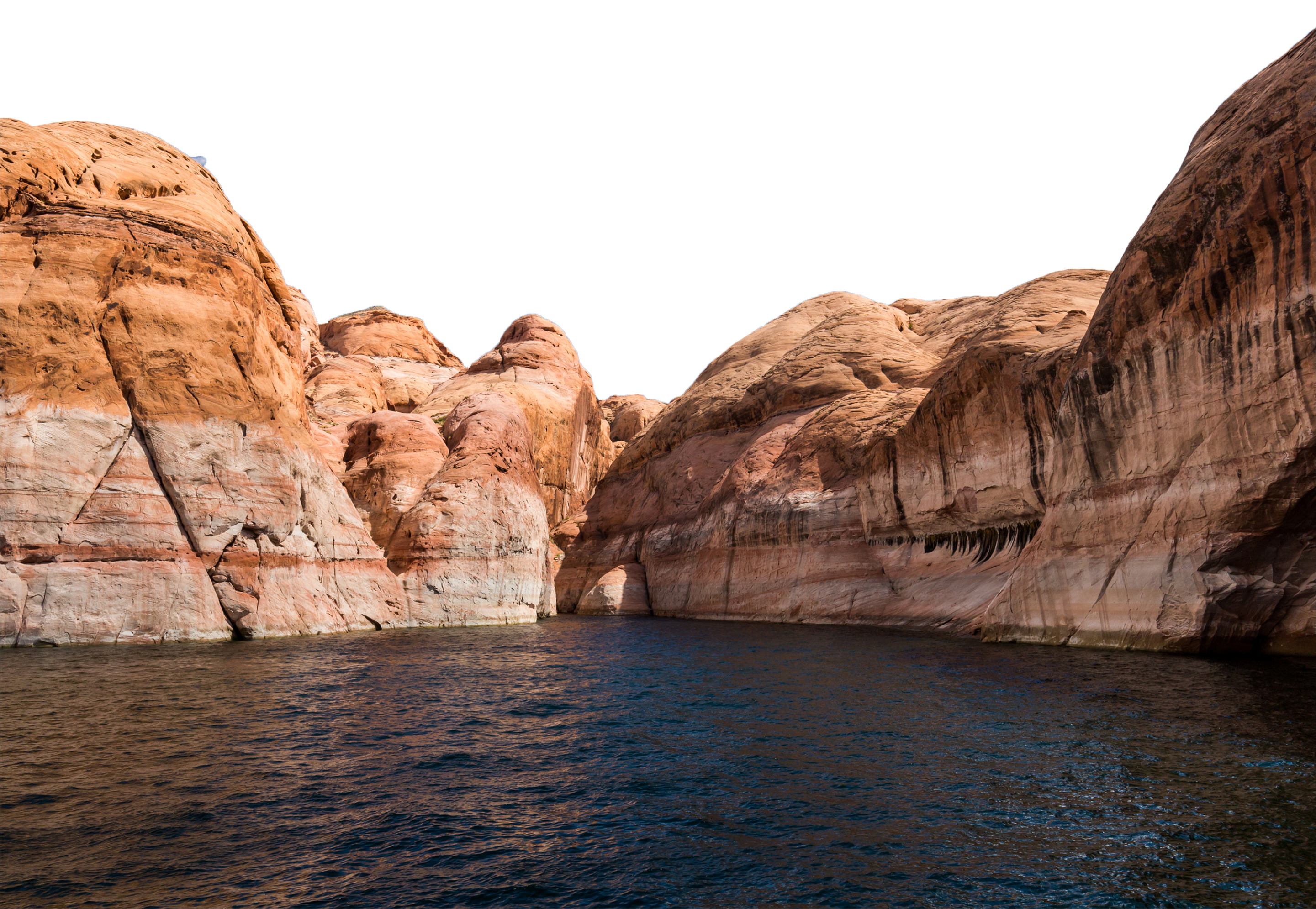
Known for its dramatic canyons, whitewater rapids, and eleven U.S. National Parks, the Colorado River and its tributaries are a vital source of water for 40 million people. The river and its tributaries are controlled by an extensive system of dams, reservoirs, and aqueducts, which in most years divert its entire flow for agricultural irrigation and domestic water supply.
Glen Canyon is a natural canyon in the Vermilion Cliffs area of southeastern and south-central Utah and north-central Arizona in the United States. Like the Grand Canyon to the south, Glen Canyon is part of the immense system of canyons carved by the Colorado River and its tributaries.
In 1963, a reservoir, Lake Powell, was created by the construction of the Glen Canyon Dam, flooding much of Glen Canyon beneath water hundreds of feet in depth. Lake Powell was the result of negotiations over the controversial damming of the Green River within Dinosaur National Monument, a project which was abandoned in favor of the Glen Canyon Dam. The dam remains a central issue for modern environmentalist movements. Beginning in the late 1990s, the Sierra Club and other organizations renewed the call to dismantle the dam and drain Lake Powell in Lower Glen Canyon.
In the 1950s, with the proposal of a dam upstream of the Grand Canyon for water storage and hydroelectric power generation, many environmentalist groups rallied to prevent the inundation of the largely undeveloped canyons in the upper Colorado River watershed. The Sierra Club and its leader, David Brower, were instrumental in blocking the proposed Echo Park Dam in Dinosaur National Monument, but overlooked Glen Canyon in the process. Before Glen Canyon was flooded in 1963, but after the struggle in Congress, Brower and many others floated the Colorado River through the canyon and realized the tremendous resource it was. The experience transformed Brower's attitude towards environmental preservation, making him more radical and less likely to compromise. For Brower, it steeled him for the battle over a proposed dam in the Grand Canyon.
American writer Edward Abbey also documented his experience exploring Glen Canyon from the Colorado River prior to the completion of Glen Canyon Dam in his 1968 memoir Desert Solitaire, in the chapter titled "Down the River".
October 1956 | Preparation for construction began, first task was to blast side of canyon |
June 17, 1960 | First bucket of concrete poured. |
September 13, 1963 | Final bucket of concrete poured. |
September 22, 1966 | First Lady Mrs. Lyndon B. Johnson dedicate the dam. |
Fun Facts
- Over 4.9M cubic yards of concrete, enough to build a 2 lane highway from Phoenix to Chicago
- Turbines creates 1,320 megawatts, that’s enough electricity for 1.7 million people
- The top of the dam is 25ft wide
The wildlife of the Colorado Plateau desert have developed unique adaptations to the arid conditions of their environment and are a part of the rich diversity of life in Glen Canyon National Recreation Area. Wildlife in Glen Canyon is a reflection of the Colorado Plateau, changes in land use, and changes in the environment caused by the completion of Glen Canyon Dam in 1963 and subsequent filling of Lake Powell. In addition to playing vital roles in the desert ecosystem and animal communities, wildlife also provides recreational opportunities such as bird watching and fishing.
Petroglyph panels, or rock imagery, are found throughout the Southwest. It is important to note the difference between “petroglyphs” and “pictographs”. “Petroglyphs” are images carved directly into the rock, which takes material away. “Pictographs” are images drawn or painted onto the rock, which means material was added. There are pictographs found in this region, but today, far more petroglyphs have survived the harsh desert environment. Many of the symbols found in Prehistoric rock art, regardless of medium, have significance and meaning to modern Native Americans, in this area, primarily the Hopi and the Navajo. Not only do the symbols have meaning and significance to modern groups, but also virtually all rock sites are considered sacred. Therefore, while it is important to note that we may never know the absolute intentions of the Native People in creating these images, it is equally important to realize that the images were created for a reason.
Most rivers and/or flowing water will always seek a path of least resistance as it flows toward the ocean. It is important to note that the path of least resistance is not necessarily a straight line. Based on weakened areas in the earth, as well as the geologic uplift that helped create this region, and other factors, the Colorado River meanders in all directions from its headwaters in Colorado towards its original end at the Gulf of California. A dramatic 270 degree “meander” at this location on the river shows how the uplift and the weak spots in the sandstone can force the river into an unexpected turn.
John Wesley Powell
Major John Wesley Powell was a one-armed Civil War veteran and a professor of geology from Illinois. Powell lost his arm in the Battle of Shiloh, but that did not stop him from believing he could lead an expedition to map and record the remaining unexplored regions of the western U.S. With little in the way of financial backing, Powell put together a team of men to explore the entire length of the Colorado River, including Grand Canyon. With no context whatsoever, the men set off from Green River, Wyoming in the spring of 1869, and spent the next 3 months on the river. They struggled quite a bit, lost boats and rations, dangled from cliffs, got hurt, ran unknown rapids, and lost lives. A subsequent trip was undertaken in 1871. The result of both trips was Powell’s “The Colorado River and its Canyons”, a compilation of journal entries. The records from the first trip brought Powell fame, and therefore the second journey brought much more in the way of financial support.
Charles H. Spencer
In 1910, Charles H. Spencer, an adventurer and prospector, arrived at Lees Ferry, to try to mine gold. He believed the Chinle Shale would be the source, and that modern equipment could make the endeavor profitable. He had all he needed at the Ferry, except for the coal needed to power the equipment. That problem was resolved; as large coal beds were found about 28 miles upriver in Warm Creek. At first a trail was built to get pack mules to Warm Creek. It was realized that the mules could not carry the volume of coal needed to serve the operation. Spencer decided to build a steamboat to travel upriver, get large amounts of coal, and bring it back downstream. The vessel was named the Charles H. Spencer, and it measured 85 feet long, and had a large steam boiler that powered a 12-foot wide paddlewheel. At Warm Creek the boat was loaded with coal for its trip to the Ferry and the mines. It was discovered that large amounts of coal were needed to power the boat back, due to the river current. Records are vague on how many trips the vessel actually made. Spencer was never able to extract gold properly from the Chinle Shale, as the amalgamators clogged incessantly, dooming the project. The Charles H. Spencer was tied up, and after 1913 was never used again. Spencer and his men left leaving the boat to eventually sink after flooding in 1915.
By 1847, the Mormon Church had moved its followers from the Midwest to Utah, where they hoped to find peace and prosperity, in their own “Deseret”. In the interest of expanding the faith and colonizing points south, the Mormons began moving into Northern Arizona. At the time, the Colorado River had no real crossings established. The Mormons had heard of a ford located near the Pariah River used by local Native Americans. John Doyle Lee and two of his wives were sent to establish a safe river crossing and homestead, later called the Lonely Dell Ranch. From 1871 to 1898, the ferry operation was simply a free-floating barge rowed across the river just above the present day launch ramp near the old fort. In low water, the ferry was operated at the Pariah confluence. In 1899, Jim Emett, one of the later ferry operators, installed a cable to secure the barge across the river. Lee actually only operated the ferry for two years, after which he relocated south into Arizona, leaving his wife Emma, to run the operation. Emma ran the ferry until 1874, when the church sent another family, the Warren Johnsons, to take over. They ran it until 1928, when the Navajo Bridge downstream was completed.